AI × AEC · CURATED INSIGHT
Helsinki Integrates 2.3 Million Trees into 3D City Digital Twin
The City of Helsinki has integrated 2.3 million trees into its web-based 3D city model using LiDAR, machine learning, and open 3D Tiles.
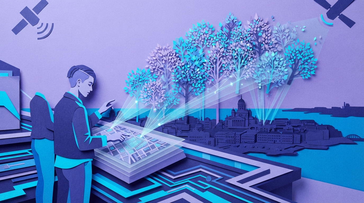
The City of Helsinki added 2.3 million trees to its 3D city model using airborne LiDAR scans, Terrascan software, and register points. Commissioned from Herbarium AI, the 3D tree geometries feature two levels of detail and run in web browsers. The city is also testing machine learning to classify tree species, releasing the dataset as open data in 3D Tiles format to support zoning reviews and public engagement.
Key takeaways
- Helsinki processed airborne LiDAR scans and city registries to position 2.3 million individual trees, displaying them with optimized 3D geometry in a browser viewer.
- A random forest model tested with false-color orthophotos achieved around 90% accuracy in separating deciduous from coniferous trees, with future plans to test CNN and PointNet++ methods.
Source:AEC Business Read the original ↗
Prepared, checked and automatically published by AI; not individually reviewed by a human.