Taiwan Railway Implements Multi-Scale Remote Sensing for Slope Inspection
Smart operations · AEC industry
A research team from CECI and Taiwan Railway Corporation presented a multi-scale slope inspection approach integrating satellite InSAR, airborne LiDAR, and UAV surveys. Moving from wide-area screening to detailed local inspection, the GIS-based platform expands slope monitoring from tracksides to high-elevation slopes and catchments, supporting risk classification and proactive railway disaster prevention.
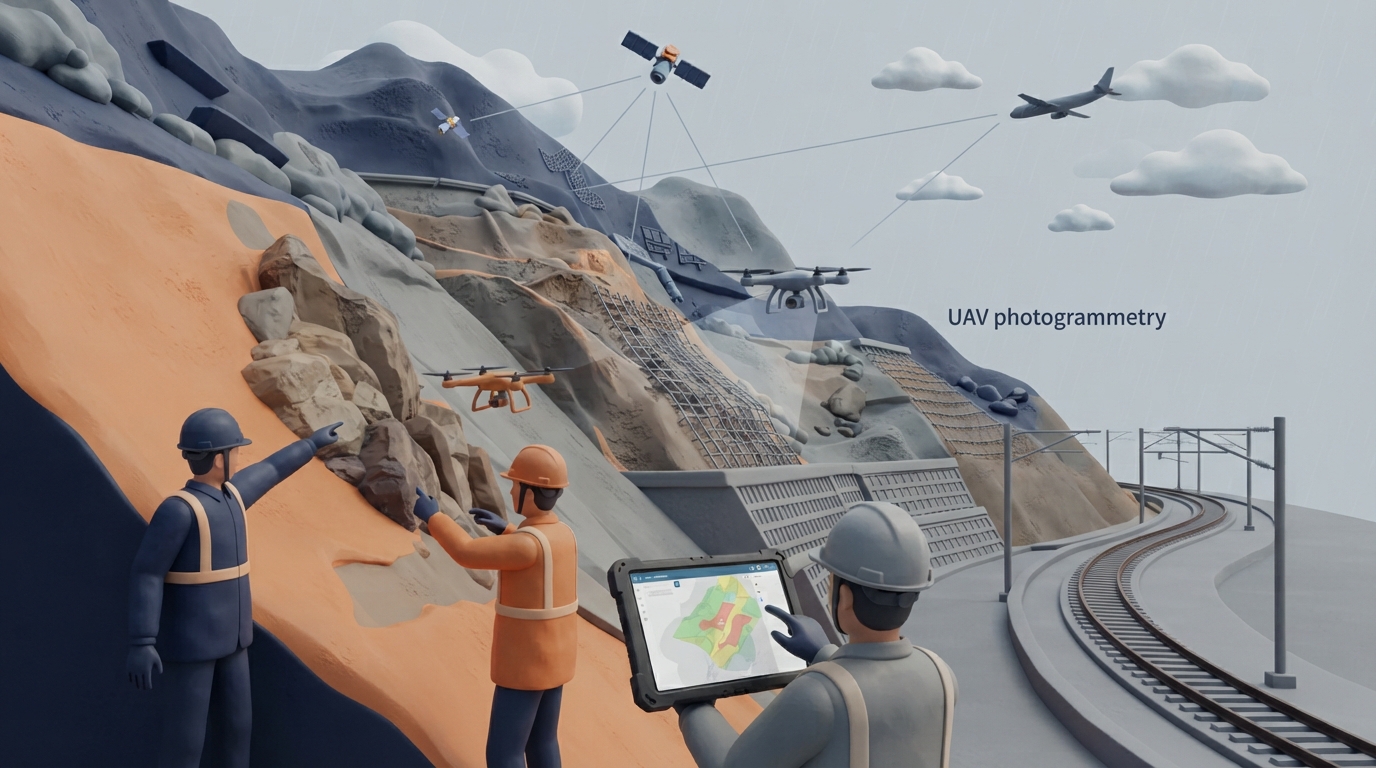
To overcome the limitations of traditional visual inspections, which are often restricted to tracksides due to rugged terrain and dense vegetation, the study introduces a technology-driven slope inspection framework combining satellite, airborne LiDAR, UAV, and ground surveys. Using a hierarchical workflow from wide screening to detailed diagnostics, ALOS-2 satellite InSAR data identifies deformation anomalies, followed by high-resolution Stripmap mode, dense airborne LiDAR, and UAV 3D mapping to detect micro-topography, newly formed landslides, and potential rockfalls. The developed slope GIS inspection platform integrates dynamic data from the Central Weather Administration, geological hazard layers, and railway maintenance logs, providing slope activity review lists to support scientific engineering decisions and proactive risk management.
Key takeaways
- Traditional visual inspections are often restricted to within 20 meters of tracksides, failing to capture high-elevation slopes and active hazard triggers upstream.
- The methodology applies TCP-InSAR with ALOS-2 ascending and descending tracks, utilizing WD1 for wide screening and SM3 for fine-scale diagnosis to reduce terrain distortion.
- Optimized flight paths enhance airborne LiDAR density to generate 0.3-meter resolution DEMs, complemented by UAV scans yielding 0.1-meter bare-earth models.
- A dedicated slope inspection GIS platform aggregates multi-source remote sensing data, weather information, and maintenance records to deliver slope activity screening lists.
Source:中國土木水利工程學會|土木水利 Read the original ↗
Prepared, checked and automatically published by AI; not individually reviewed by a human. Translation checked by AI.