ES2 Integrates Drone Mapping and GIS for USACE Infrastructure Projects in Louisiana
Construction methods · Project management
The U.S. Army Corps of Engineers New Orleans District collaborated with ES2 to integrate drone mapping, surveying, CAD plans, and field observations into ArcGIS. Applied across major initiatives in Louisiana such as the Comite River Diversion and a Confined Disposal Facility, the workflow provided recurring terrain updates, monthly volume calculations, and machine-control models to support construction monitoring and coordination.
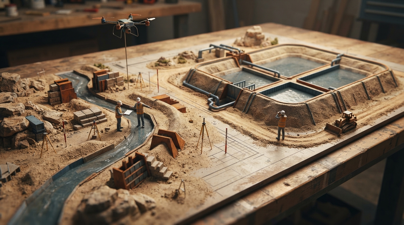
The U.S. Army Corps of Engineers (USACE) New Orleans District collaborated with geospatial firm ES2 to consolidate site documentation across major infrastructure projects in Louisiana, including the Comite River Diversion flood risk reduction project and a Confined Disposal Facility along the Gulf Intracoastal Waterway. According to the case summary, ES2 integrated drone imagery, survey records, CAD drawings, and compliance documentation into an ArcGIS-centered workflow. ArcGIS Field Maps and Survey123 were deployed for field verification, geotechnical observations, and reporting activities. For the Comite River Diversion initiative, covering roughly 400 acres, ES2 conducted over 48 recurring unmanned aerial system (UAS) surveys to track changing conditions and reduce routine ground inspections. At the Confined Disposal Facility, the team established survey control and processed recurring UAS surveys using ArcGIS Drone2Map and ArcGIS Online. Recurring digital terrain models supported monthly volume calculations for material tracking, while machine-control models derived from the aerial and survey data guided field machinery against design surfaces to minimize rework.
Key takeaways
- USACE New Orleans District partnered with geospatial services firm ES2 to integrate drone imagery, CAD data, and survey records across Louisiana infrastructure projects using ArcGIS.
- For the 400-acre Comite River Diversion project, ES2 executed more than 48 recurring UAS surveys to support site monitoring and field verification via ArcGIS Field Maps and Survey123.
- At the Confined Disposal Facility project, a drone-to-GIS workflow provided monthly volume calculations and machine-control models to guide earthwork and reduce construction rework.
Source:Construction Dive Read the original ↗
Prepared, checked and automatically published by AI; not individually reviewed by a human.